Identify from a photo
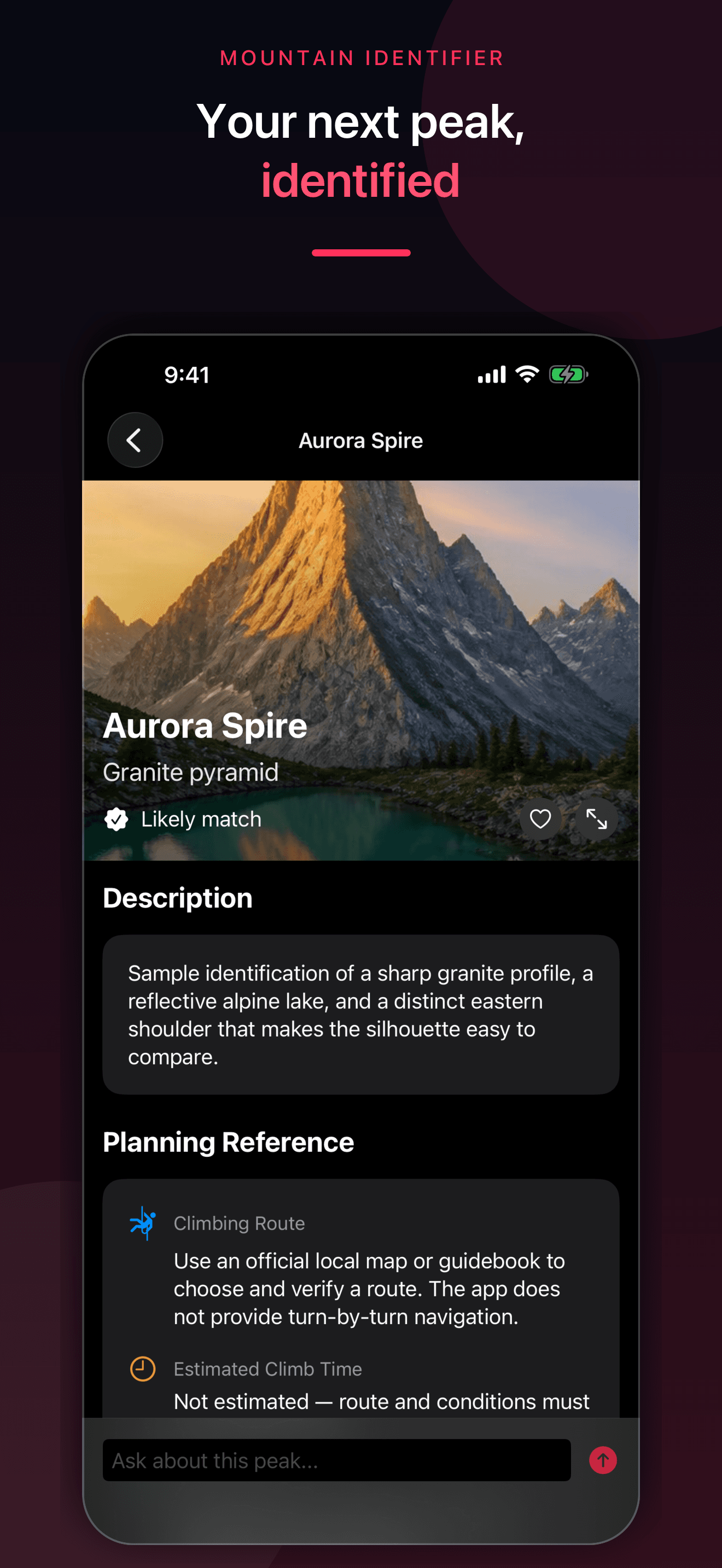
Take or choose clear mountain photos and receive a likely visual match with the uncertainty kept explicit.
Mountain identifier and peak finder by photo
Photograph a mountain for a likely visual match, compare nearby summits with Look Around, then save Climbed, Planned, and Wishlist peaks in one private collection.
Built for the task
Identify from a photo
The short answer
A direct definition for readers, search engines, and answer systems.
Mountain Identifier is an iPhone app that analyzes selected mountain photographs and suggests a likely peak match. Optional location can help compare named nearby peaks from OpenStreetMap. Look Around places approximate peak labels over the camera view, while saved records organize reference details, follow-up questions, and Climbed, Planned, or Wishlist status.
Mountain and peak results are likely visual matches, not verified facts. Do not use the app as your only map, navigation, route, weather, avalanche, emergency, or safety source.
Inside the app
Every feature supports the same workflow, so the app feels like a system rather than a folder of disconnected AI buttons.
Take or choose clear mountain photos and receive a likely visual match with the uncertainty kept explicit.
Use camera direction, compass, location, elevation, and public peak data to view approximate nearby labels.
Mark saved summits as Climbed, Planned, or Wishlist and revisit their photos and reference details.
Explore elevation, range, geology, approximate route context, history, and public geographic references.
Ask general questions about a saved peak while treating AI answers as fallible and potentially outdated.
The app does not replace official maps, navigation, weather, avalanche, closure, permit, rescue, or local safety information.
Product tour
Real screens from the current iPhone experience.


How it works
Use a clear, well-lit view that shows the peak profile, surrounding ridges, and enough landscape for comparison.
Check silhouette, nearby peaks, range, elevation, and location context instead of treating one photo as verified identification.
Add the peak to your collection, then use current official local sources for navigation, access, conditions, permits, and safety.
Who it helps
Practical guide
Use the skyline, camera location, direction, nearby peaks, official names, and topographic context to narrow a likely mountain or summit match.
Direct answers
It can suggest a likely match from visible landscape features and optional location context. Similar silhouettes, distance, haze, lighting, and incomplete views can produce a wrong result, so verify important identifications independently.
Look Around combines optional location, compass and camera orientation, device elevation context, and public nearby-peak data to place approximate labels. Treat those labels as a comparison aid, not turn-by-turn navigation.
No. It does not provide live weather, avalanche, volcanic, closure, permit, rescue, route, or trail conditions. Use current official local sources and qualified guidance before outdoor activity.
Saved photos, likely matches, status, location, reference details, and chat history are stored in the app and may sync through your private Apple iCloud account when available.
Available on the App Store
Free download · optional subscription. Built by Ideas All Day Ltd for iphone · ios 26+.
Download on the App Store