01
Summit and ridge profile
Compare the summit shape, shoulders, saddles, false summits, connecting ridges, and how steeply each side falls away.
Practical guide
A skyline photo is useful, but location and direction make it much stronger. Compare the summit profile, connecting ridges, nearby peaks, camera position, bearing, and official map data before treating a suggested name as confirmed.
Free download on iPhone · Optional subscription
What to look for
Many summits look similar when cropped or viewed from another valley. Keep enough landscape in the frame to compare the peak as part of a named range.
Compare the summit shape, shoulders, saddles, false summits, connecting ridges, and how steeply each side falls away.
Your viewpoint eliminates distant lookalikes. Keep the photo location when you choose, or record the trail, town, road, lake, or overlook.
A compass bearing helps distinguish several visible peaks around the same valley. Treat device headings as approximate and check them against the landscape.
Compare nearby summits, ranges, elevation, water, roads, and topographic contours with an authoritative map for the region.
Step by step
Take one wide, level photo that includes surrounding ridges and a second closer view of the peak. Avoid heavy filters, digital zoom, and clipped summits.
Note the photo location or nearest named place. If you share coordinates, check that they do not expose a private or sensitive location.
Record an approximate compass bearing and identify foreground clues such as lakes, valleys, roads, or neighboring peaks.
Check the proposed summit profile, adjacent peaks, range, elevation, and relative direction. A visual match that conflicts with the map is not confirmed.
Confirm important names and locations with an authoritative geographic source. For hiking, use current official maps, weather, alerts, closures, permits, and local guidance—not a photo identifier.
Inside the app
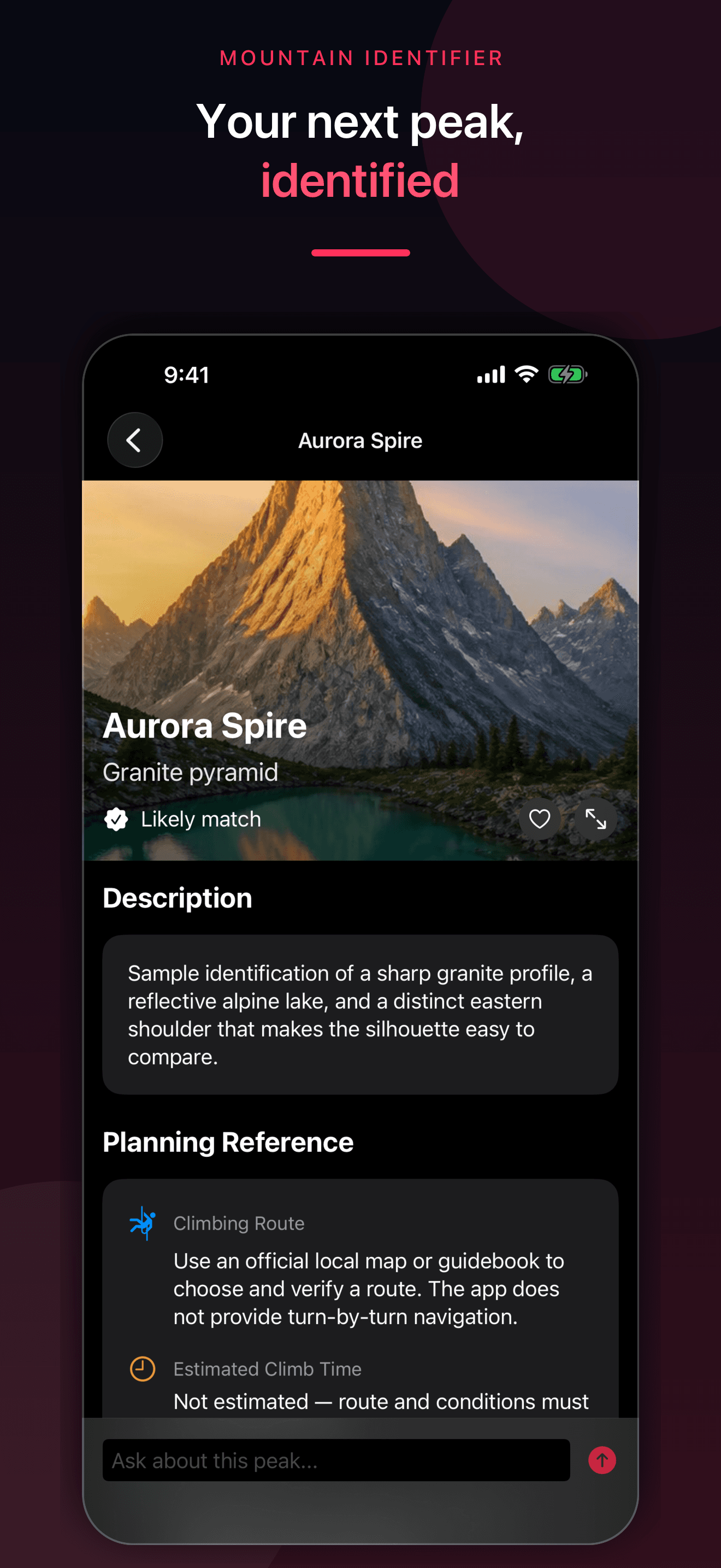
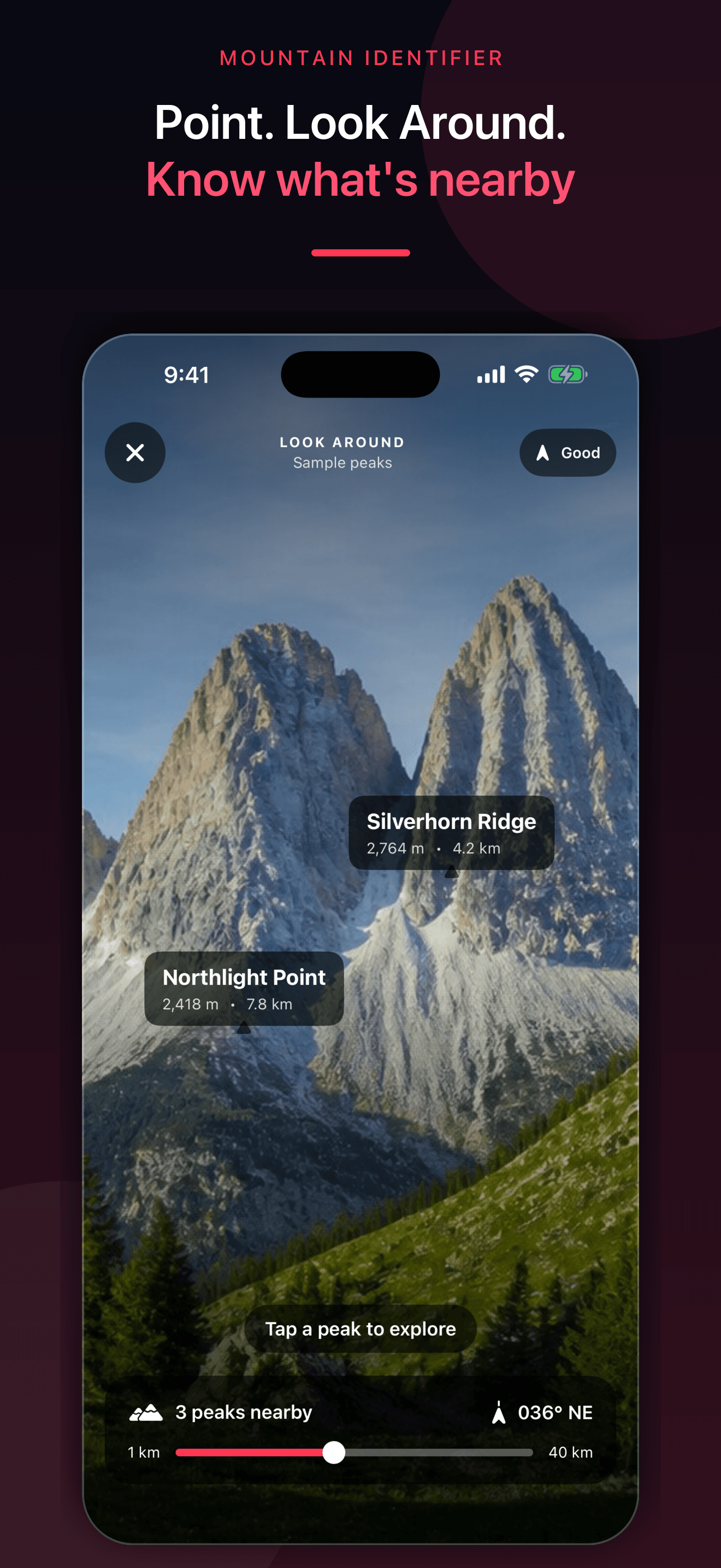
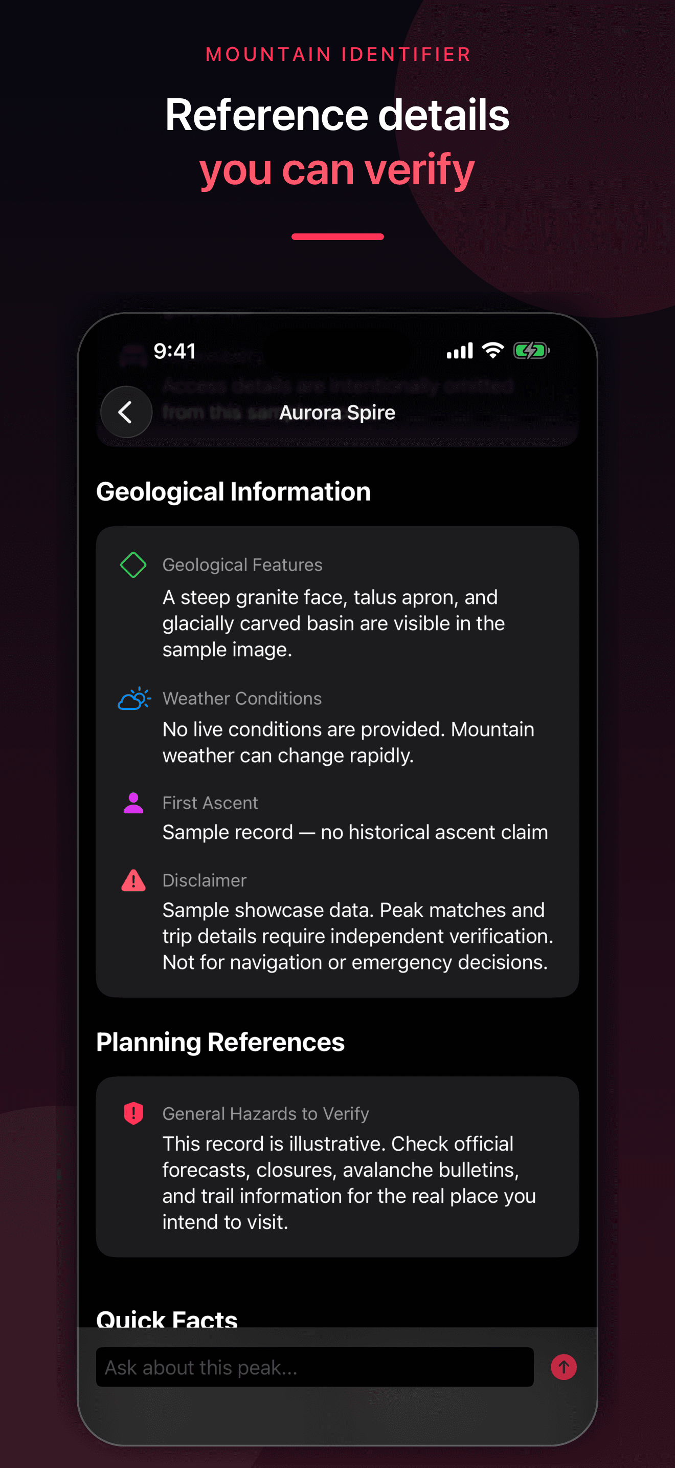
These are actual Mountain Identifier screens. The likely photo match and approximate nearby labels are comparison tools, not verified navigation.
Try the app
Mountain Identifier suggests a likely peak from selected photos, can compare public nearby-peak data with optional location and direction, and keeps reference details, follow-up questions, and Climbed, Planned, or Wishlist peaks together.
Primary references
These references support the geographic and safety boundaries in this guide. They do not endorse the app, and U.S. sources do not cover every country.
Direct answers
A clear skyline photo can support a likely match, especially when you also know the camera location and viewing direction. Compare the summit profile, ridges, nearby peaks, and official map data before treating the name as confirmed.
Include the complete summit, connecting ridges, surrounding peaks, and some foreground context in clear weather. A wide skyline view plus a closer photo is more useful than a tightly cropped or heavily filtered image.
With permission, location and device direction can help compare named nearby peaks and place approximate labels over the camera view. GPS, compass, elevation, public map data, and line of sight can all be imperfect, so verify the result.
USGS GNIS is the federal repository for official domestic geographic names and feature locations. The USGS National Map adds geographic names, elevation, imagery, water, and topographic context. Elevations and coordinates can still require careful interpretation.
No. Do not use a photo result or approximate camera label as your only map, route, weather, avalanche, closure, permit, rescue, or emergency source. Check current official local information and carry appropriate navigation and safety equipment.